Sacred Site Visits
I love and respect rocks and sacred sites, and I enjoy exploring and sharing them with others.
Sacred sites are places with special meaning or significance, that are considered to be sacred and holy, and are greatly revered, honoured and protected, most often under indigenous tradition. They can be places with what appear to be naturally occurring rock formations like stone circles, pyramid and sphynx shaped mountains. Hills, lakes, waterfalls, trees and other natural features can also be sacred sites.
Golden Nile Meridian
My passion and speciality is the Golden Nile Meridian, also called the Nilotic Meridian, and the sacred sites and land all along this high energy ley line.
It runs around the globe and most notably, the length of Africa, from Durban in South Africa, to Cairo in Egypt. The core is at 31°14’ E longitude, with high energy areas within 2° on either side. North of the equator, The Nile River – the only river on Earth that runs from south to north, runs along this energy line. And south of the equator, the line runs along the “River of Gold”, through many gold mining areas.
Reflected directly above, is the “River of Stars”, the Milky Way.
As above, so below.
Famous sacred sites along this meridian include the Pyramids and Sphinx of Egypt (31.13° E), the Nile River, the Pyramids of Sudan (31.46° E), Lake Victoria in Uganda, the Great Zimbabwe Ruins (30.93° E), South Africa’s Adam’s Calendar (30.16° E) and Timbavati, where the White Lions came to Earth (31.31° E).
I first read about the Golden Nile Meridian in Linda Tucker’s book, Mystery of the White Lions – Children of the Sun God. I knew straight away that I was to travel along this sacred line, and have been doing so for almost two decades. My travels have taken me throughout South Africa and to areas of Zimbabwe, Zambia, Uganda, Egypt and Turkey, following the line.
In her book, Why I was Born in Africa, Judith Kusel, refers to this line as the Spinal Column of the Earth, with it being at 33° E, with 10° on either side. (There are 33 vertebrae in the body!) I see the Spinal Column as much wider than the Nilotic Meridian. I believe the Nilotic Meridian is the spinal cord – the spinal fluid – WITHIN the Spinal Column of the Earth.
Just as the spinal cord of the human body is responsible for transmitting nerve impulses, and is the nerve pathway that enables the brain and the body to communicate with one another, so the Nilotic Meridian is the central energy channel of the Earth, vibrating and transmitting energy and impulses from Source to Earth. The sacred sites along this channel are in high energy spots, and are like prime nerve branches, from where Source energy is dispersed out and kept alive. As within, so without.
I conduct visits and tours to sacred sites along the Golden Nile Meridian. Sacred site visits affect the sites and the participants in profound ways. They are about remembering, activating, healing and bringing love and unity, so that these sites can be brought into awareness and into their full power and light.
Common features throughout the Nilotic Meridian are ancient Baobab trees, pyramid and sphinx shaped mountains, gong rocks, stone circle ruins and hot springs, and are often included in the visits. Indigenous wisdom and stories are also included where possible.
Sacred Places to Visit:
SOUTH AFRICA
ZIMBABWE
South Africa
Blyde River Canyon
30.81° E
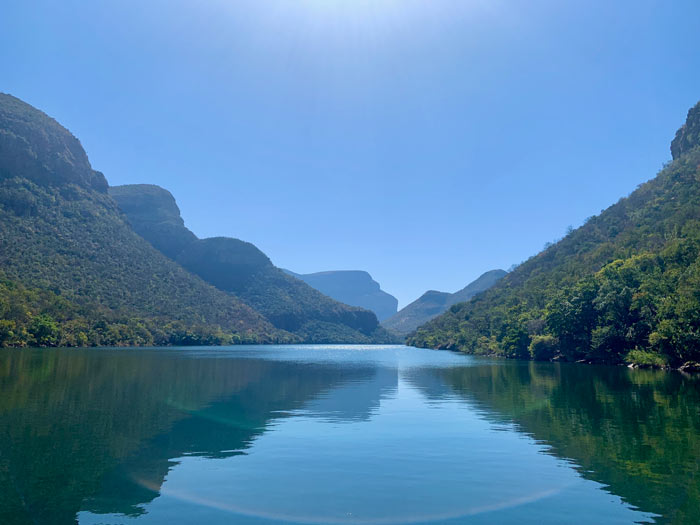
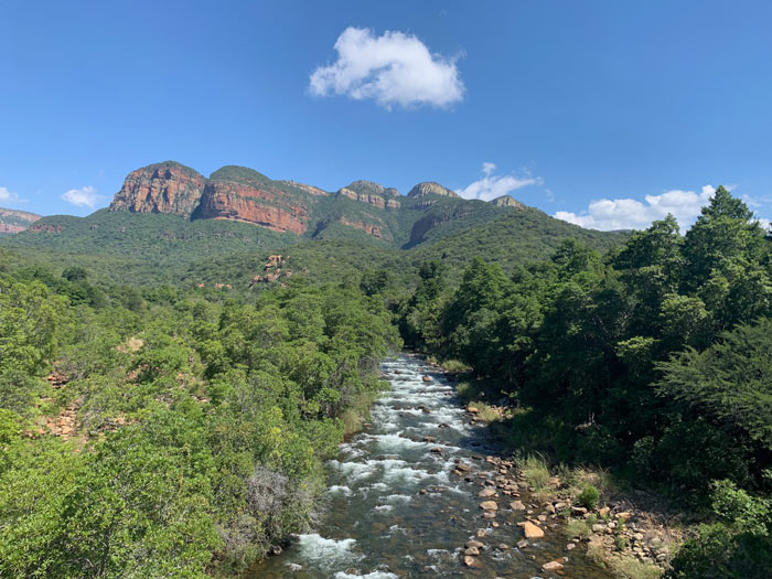
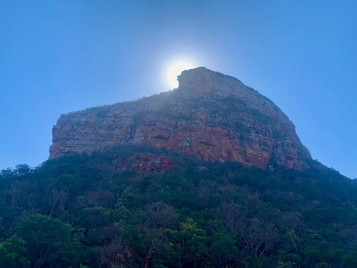
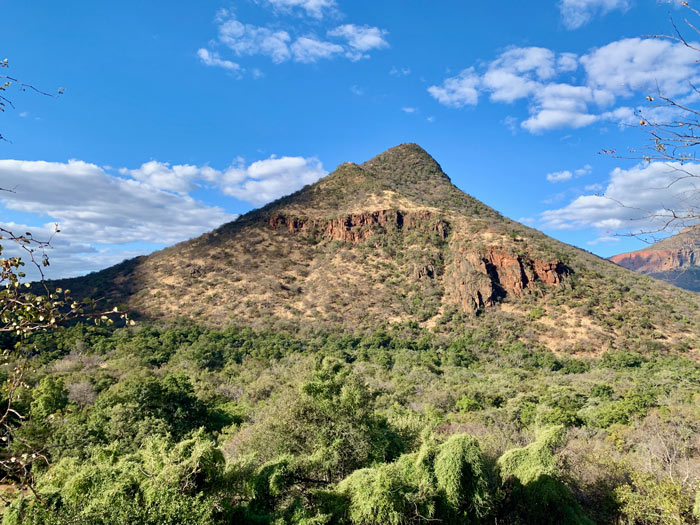
Part of the Greater Drakensberg escarpment in Mpumalanga, the Blyde River Canyon is the third largest canyon in the world. A powerful energy vortex, and site of an ancient temple complex, it hosts some of the most beautiful scenery and views in South Africa.
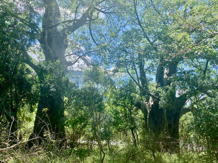
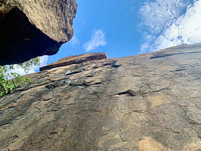
Immerse in the powerful energies … enjoy a boat trip on the Swadini Dam, walk in the presence of the sacred Modimole pyramid mountain, hike and explore the rocks, swim in the Swadini Waterfall on the Blyde River (“River of joy”), walk along the dam wall or visit the Baobab trees in the Nature Reserve.

Three Rondavels Viewpoint
30.79° E
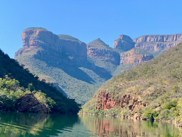
On the rim of the Blyde River Canyon, the Three Rondavels Viewpoint gives a sweeping bird’s eye view of the canyon portal, Swadini Dam and The Three Rondavels peaks – three round mountains with pointed tops. It is also the site of an ancient Zulu ceremonial altar.


Lost City at Mount Sheba Nature Reserve
30.73° E
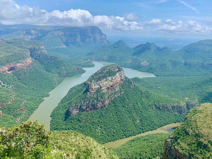
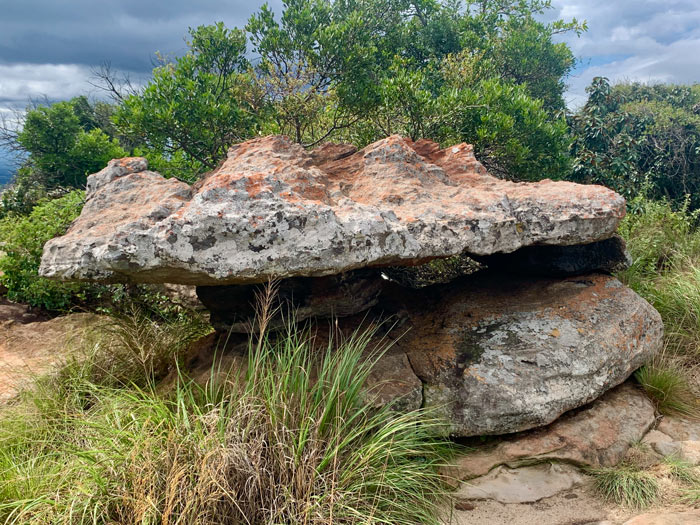
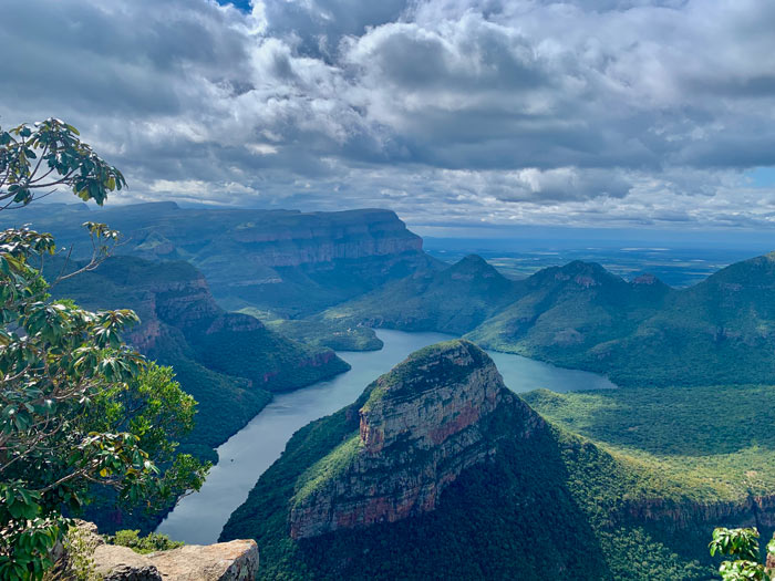
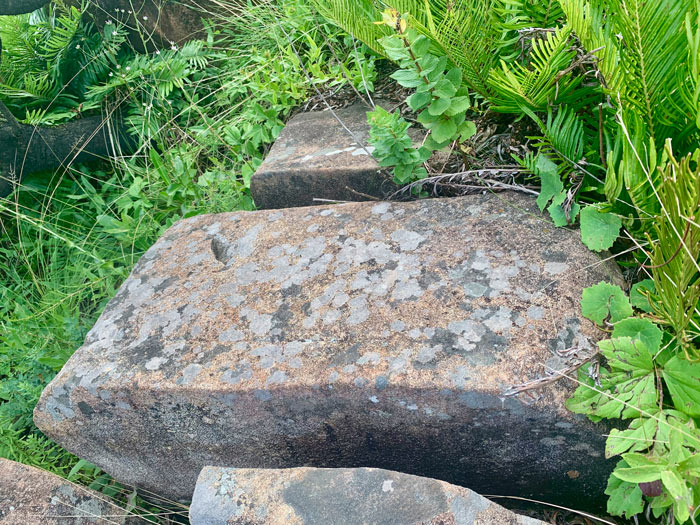
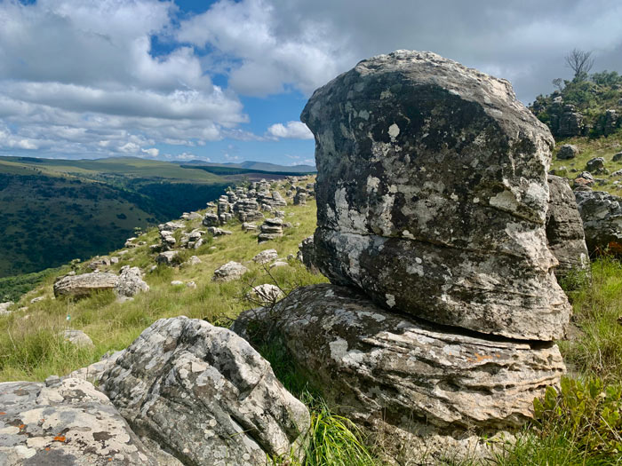
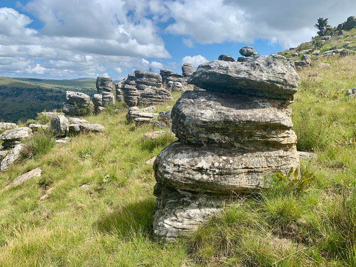
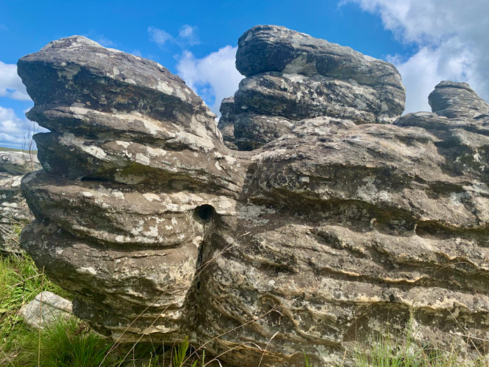
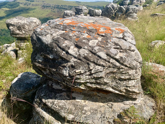
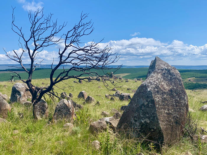
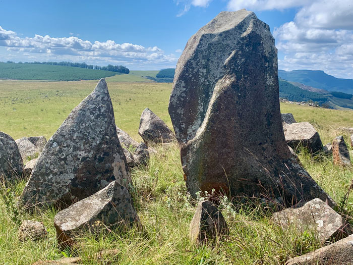
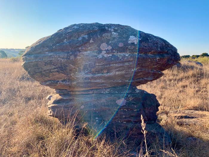
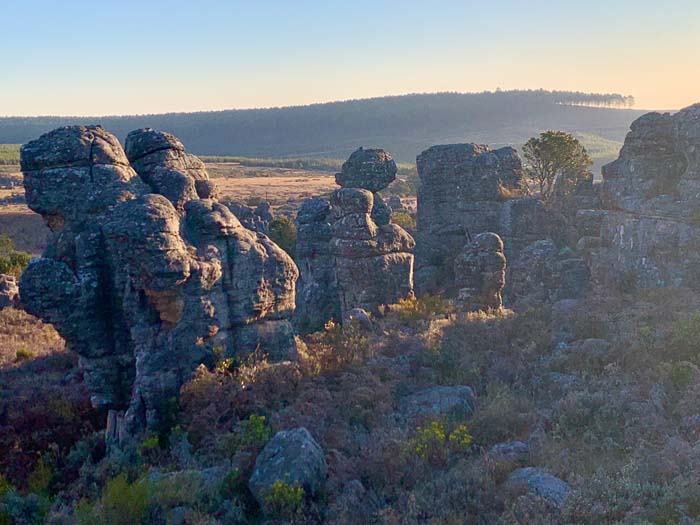
In the Mount Sheba Nature Reserve near Pilgrim’s rest, scattered on the mountain top overlooking the valley, are hundreds of unusual rock formations of varying shapes and sizes. A short hike or drive up the mountain takes you to these extraordinary rocks. They are very similar to the otherworldly rock formations found at Kaapsehoop.They give the impression of an ancient abandoned city, hence the name, Lost City.

Kaapsehoop
30.76° E
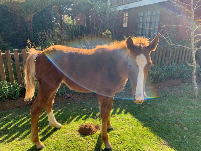
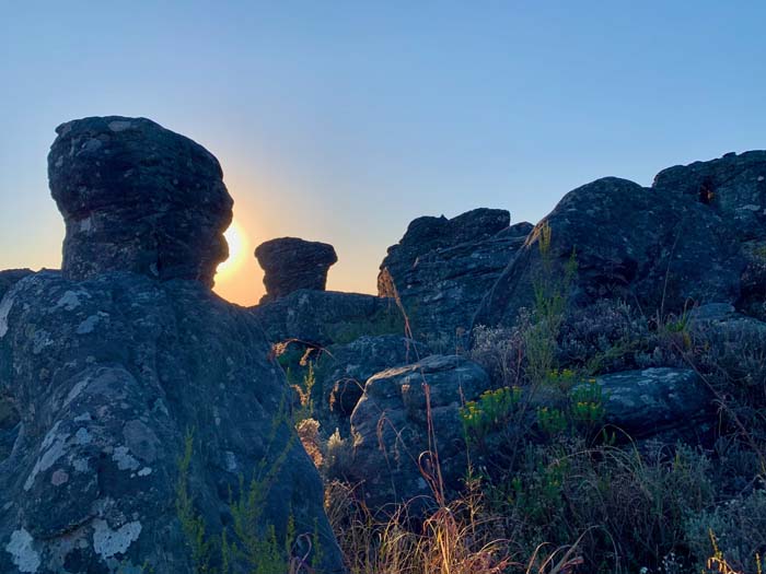
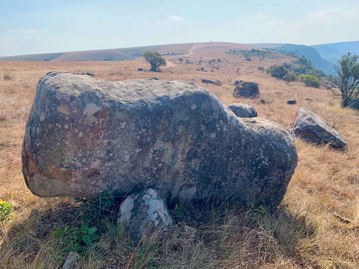
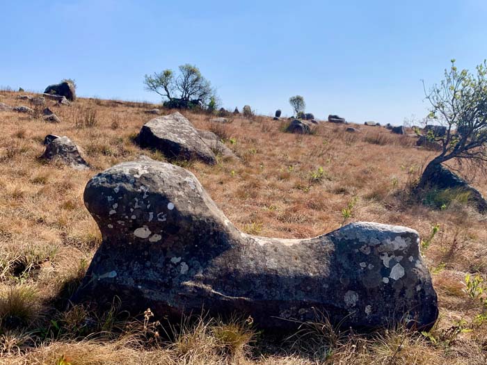
Kaapsehoop is an eccentric, small town on Mpumalanga’s Drakensberg Highveld escarpment, close to the towns of Mbombela (Nelspruit) and Barberton. The area is strewn with rocks and stones in extraordinary shapes, figures and animal formations. Custodians of these remarkable, celestial formations, are the free-roaming wild horses. Adam’s Calendar, a megalithic stone calendar site, holds centre stage on the plateau above the town.



Adam’s Calendar
30.16° E
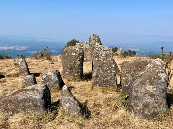
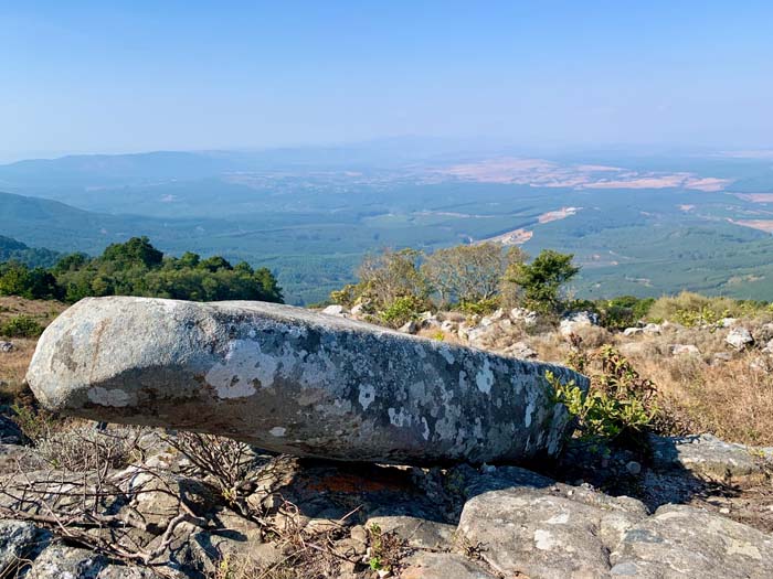
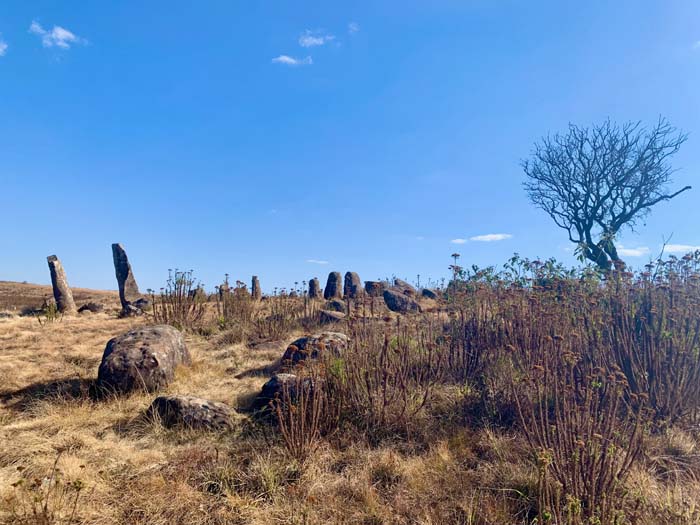
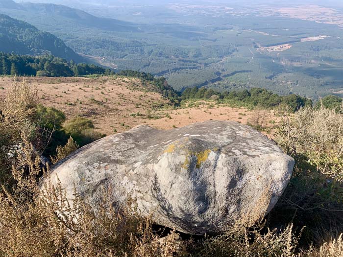
“Africa’s Stonehenge”. Adam’s Calendar is a megalithic stone calendar site presiding on the plateau above the town of Kaapsehoop, overlooking the pyramids of the Barberton Valley.
Undertaking a pilgrimage of sorts, a lovely walk takes you to the edge of the escarpment, and along the path of initiation said by Credo Mutwa to have been used for ancient ceremonies. Known by African elders as “The Birthplace of the Sun”, this series of stones is believed to be the oldest man-made structure on Earth. The stones are placed to track the movement of the sun, which casts shadows on the rocks. A peaceful and powerful space with incredible views.

Tshipise Koppie and Hot Springs
30.76° E
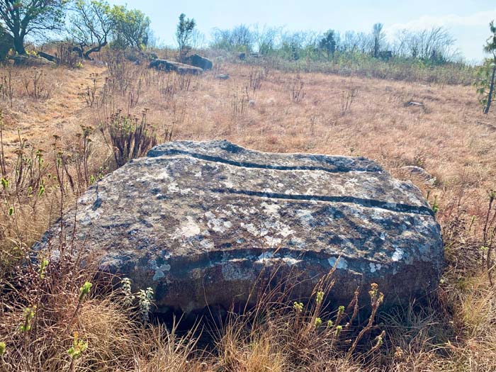
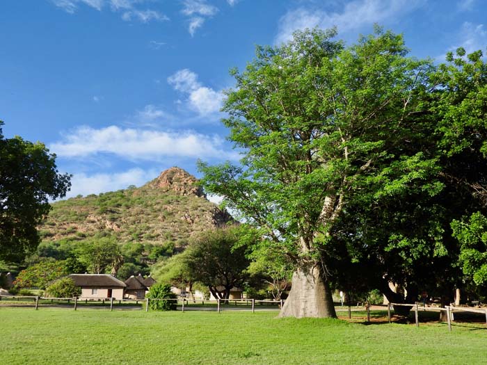
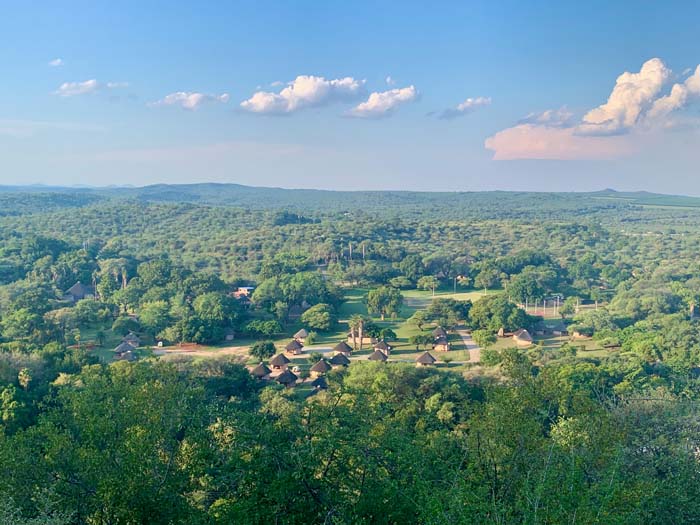
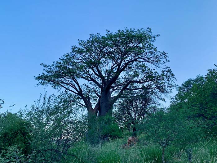
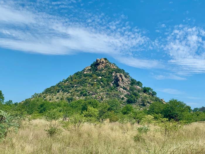
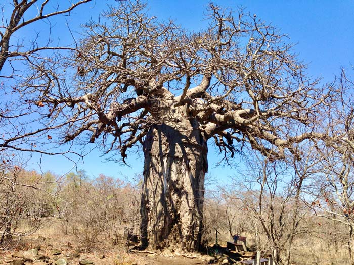
The Tshipise Koppie is a sacred pyramid hill towering protectively over the Tshipise Forever Resort. Tshipise means “Something Warm” referring to the hot mineral springs there. If you want to visit Baobab trees, this is the place to stay. The Koppie (hill), which can be climbed, and the resort, are dotted with majestic Baobab trees. More Baobabs can be visited on a walk or drive through neighbouring Honnet Nature Reserve.


Kruger National Park
31.00° – 32.00° E
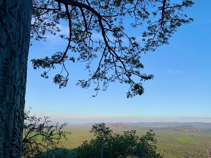
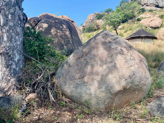
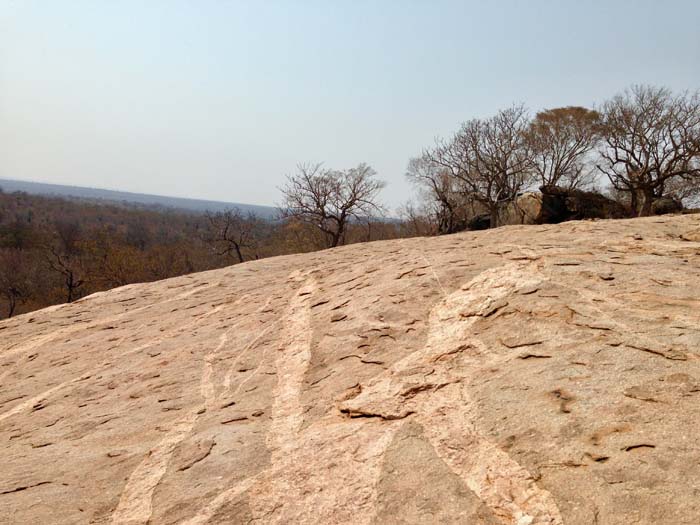
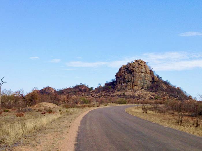
Of course – Kruger National Park has amazing wildlife, bush and Baobab trees, but is also home to many pyramids, rocks and sacred sites. Places to visit include Mount Tshikumbu, a holy place with a shrine where descendants of the late chief perform rituals, the megalithic stones at the Masorini Ruins and the Thulamela Ruins stoned wall site.

Mapungubwe National Park
29.34° E
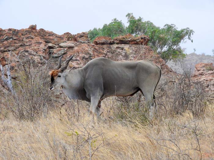
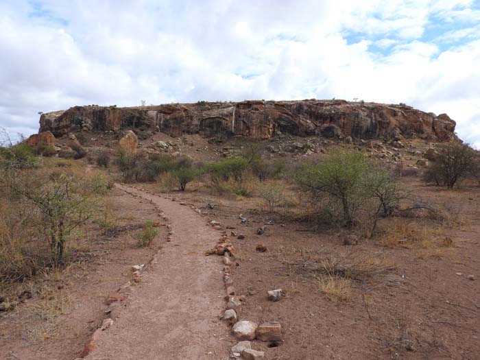
Mapungubwe is an ancient African Kingdom and World Heritage Site at the confluence of the Shashe and Limpopo rivers in Limpopo Province.
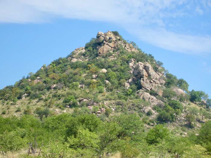
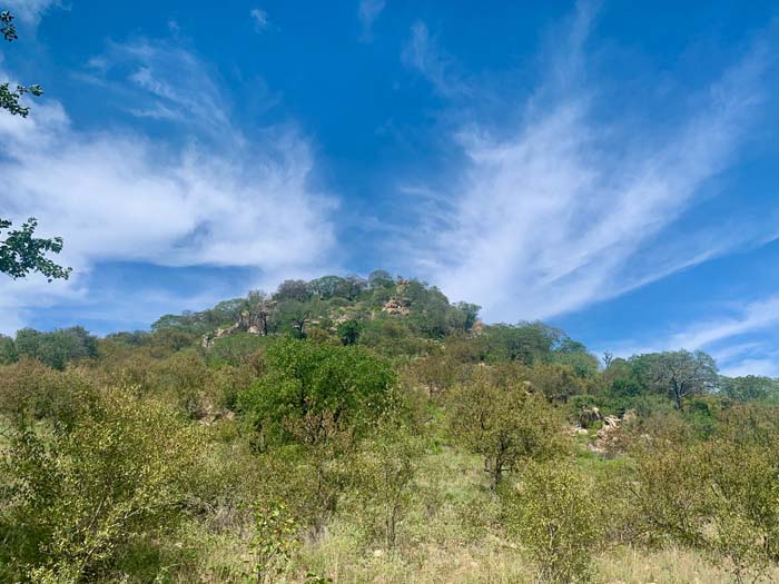
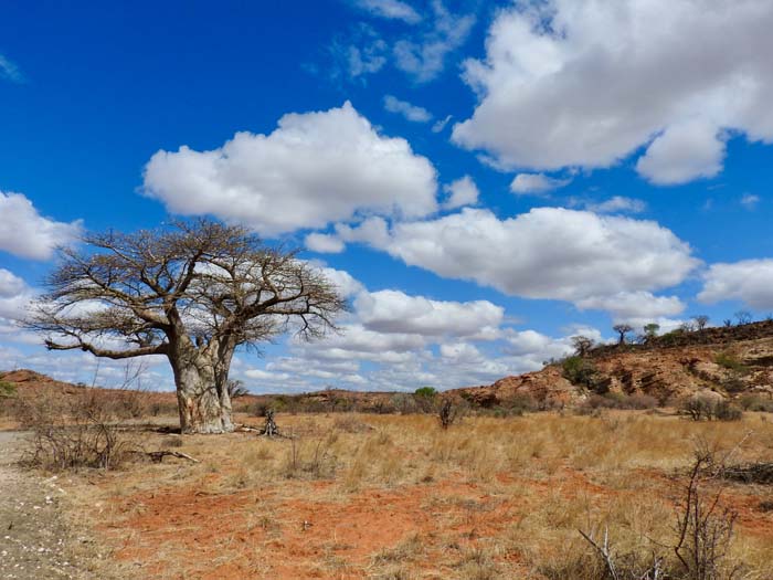
Baobab trees abound within and amongst the ruins of this ancient and mystical kingdom. A wooden staircase leads to the top of Mapungubwe Hill, with celestial markings, holes and indentations in the rocks at the top. The Hill overlooks a natural amphitheatre filled with rocks formations and Baobab trees. Stone walls, similar to those of the Great Zimbabwe Ruins, hold the space.
Maintaining the link to gold, is the golden rhinoceros of Mapungubwe – A special artifact, made from wood and covered in thin sheets of gold, found on a “royal grave” on Mapungubwe Hill by archaeologists from the University of Pretoria in 1932.




Zambia
Mutinondo Wilderness
31.29° E
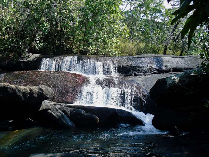
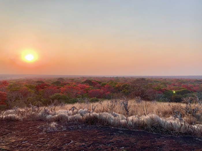
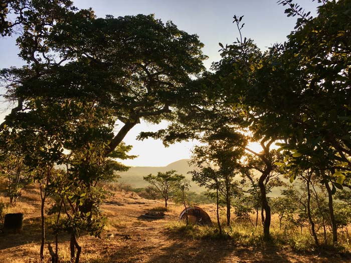
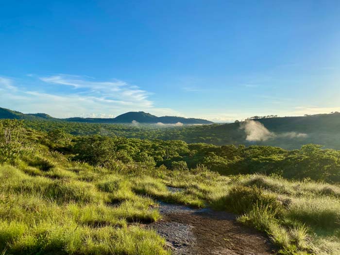
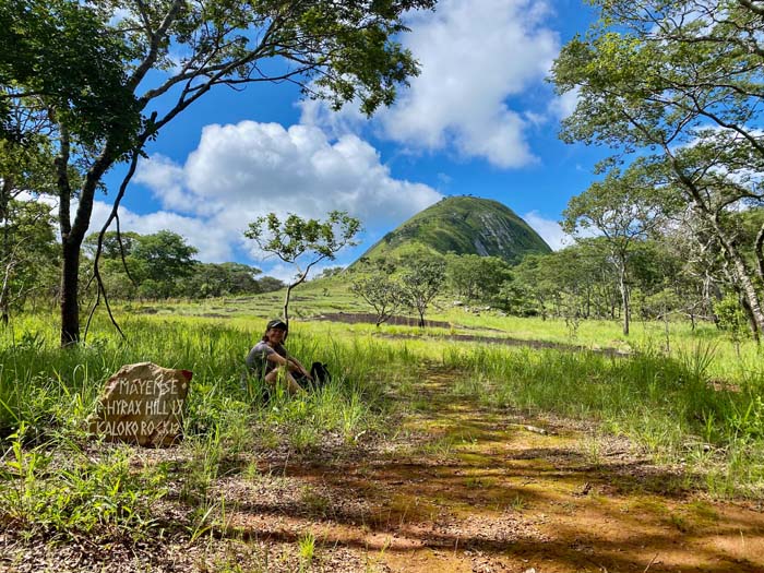
Mutinondo Wilderness is on the plateau 30 km west of the Luangwa Valley in northern Zambia. With over 60 km of well-maintained, signed pathways and magnificent views, it is paradise for free hearted spirits to hike freely, swim, cycle and celebrate Nature’s pristine miombo woodland, freshwater streams and waterfalls.
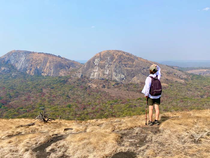
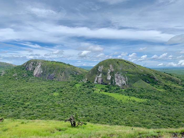
The massive majestic domes of granite, called inselbergs or whalebacks, are a spectacular feature of the area. They are extremely rewarding to climb, offering great views for just a little effort, and are a dominant feature of the beautiful views from the lodge, campsites and hiking trails. Interestingly, they all run almost due east/west.

Victoria Falls
25.83° E
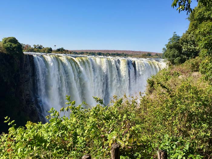
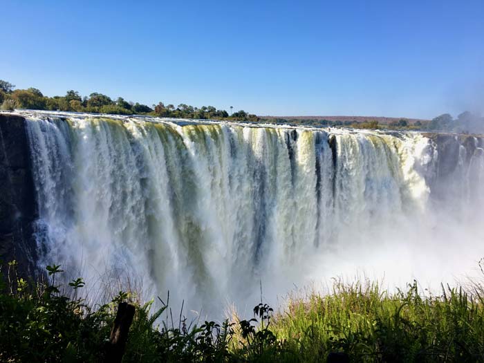
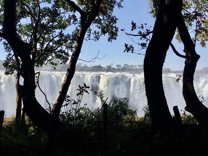
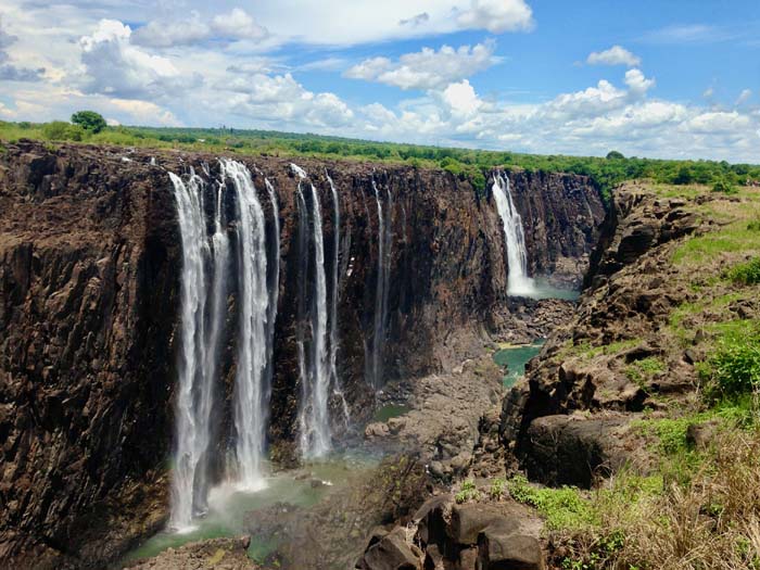
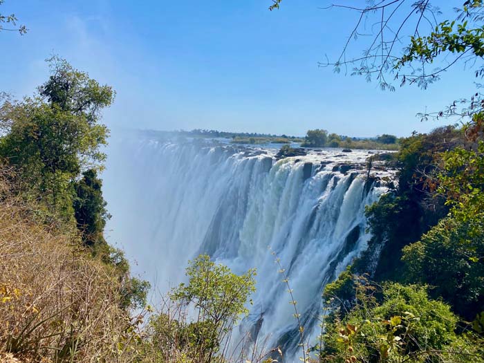
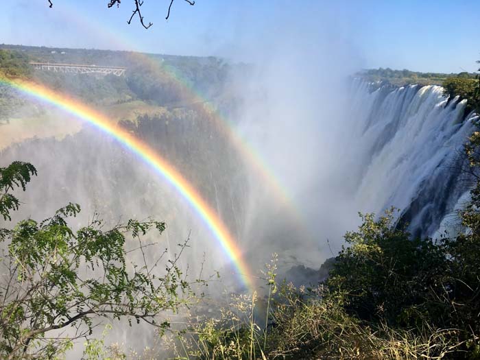
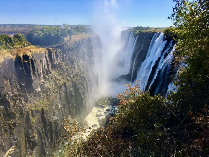
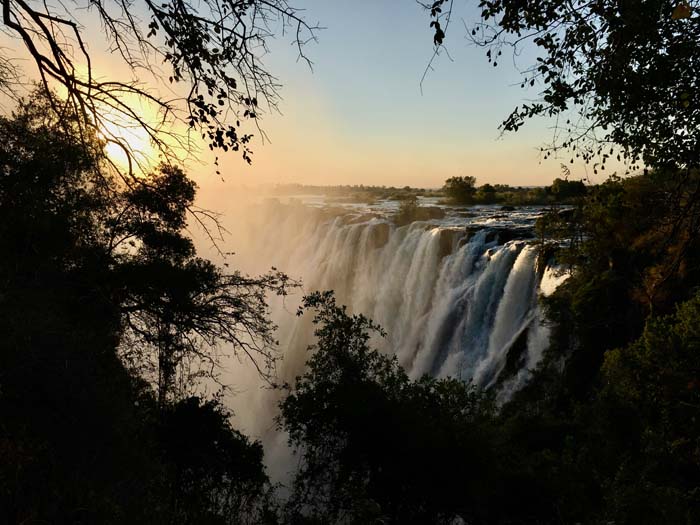
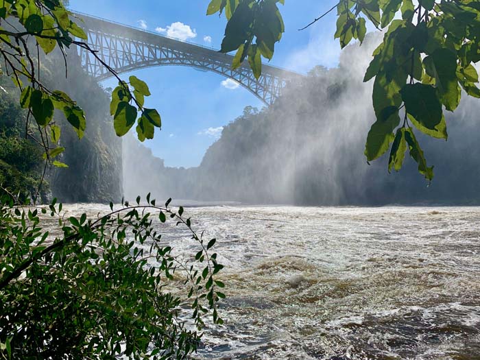
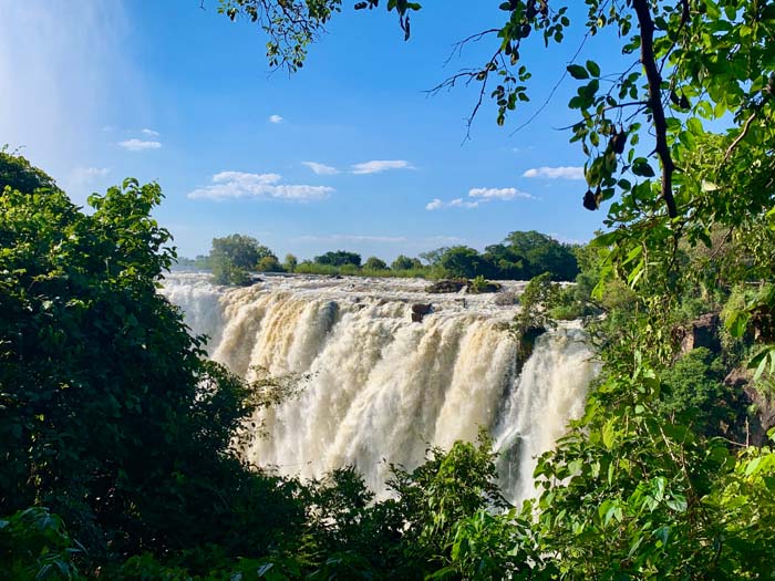
The Victoria Falls is one of the seven Natural Wonders of the World. Within the mighty Zambezi River, marking the border between Zambia and Zimbabwe, it is a spectacular sight of awe-inspiring beauty. As David Livingstone declared, “Scenes so lovely must have been gazed upon by angels in their flight.”.
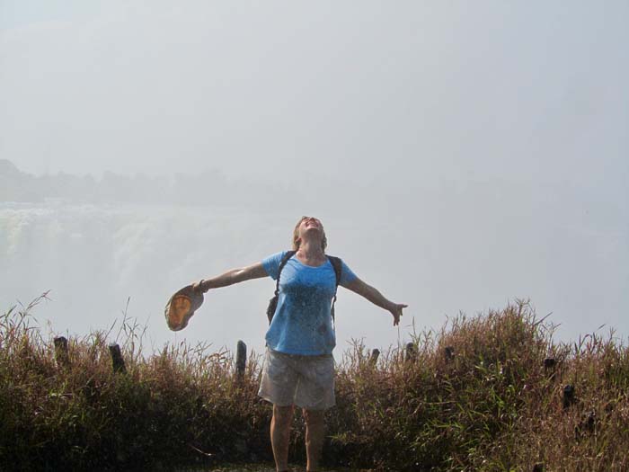
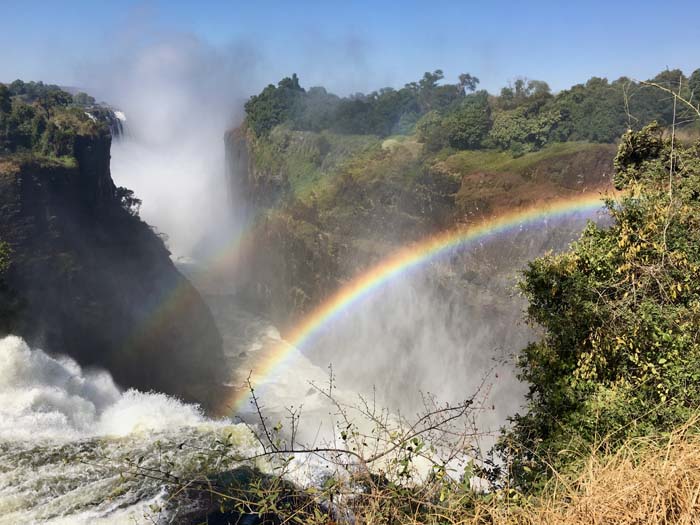
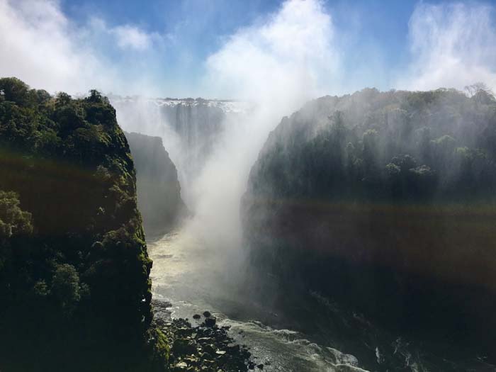
Forming the world’s largest curtain of falling water during peak rainy season, it creates a mist that rises so high that is visible over 40km away. This mist, and the booming sound of the falling water, is what is referred to as “Mosi-oa-Tunya” – “The smoke that thunders.” The mist feels like soft rain, and creates magical rainbows over the Falls throughout the day and even at night, forming an ethereal “lunar rainbow”.
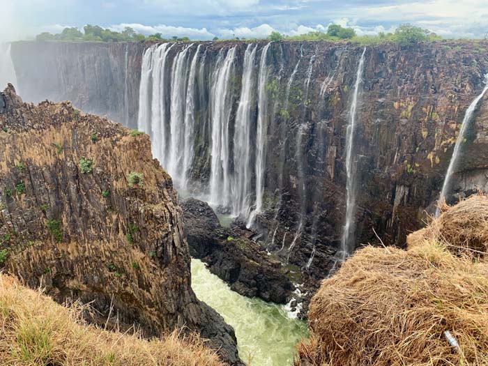
Guarded by solemn, gigantic rock Guardians and Keepers, the site is a powerful energy vortex, spiraling down into the Zambezi River at the bubbling portal of the Boiling Pot. Revered in local traditions, there are a number of sacred shrines in the area.
The Zambia side is the Masculine side of the Falls – Holding the Masculine energy within the vast open rocks, especially visible during low water season.
Zimbabwe
Matobo National Park
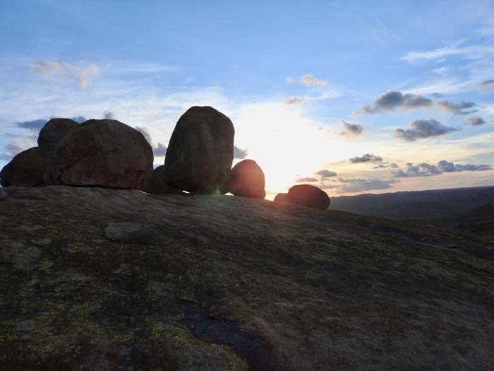
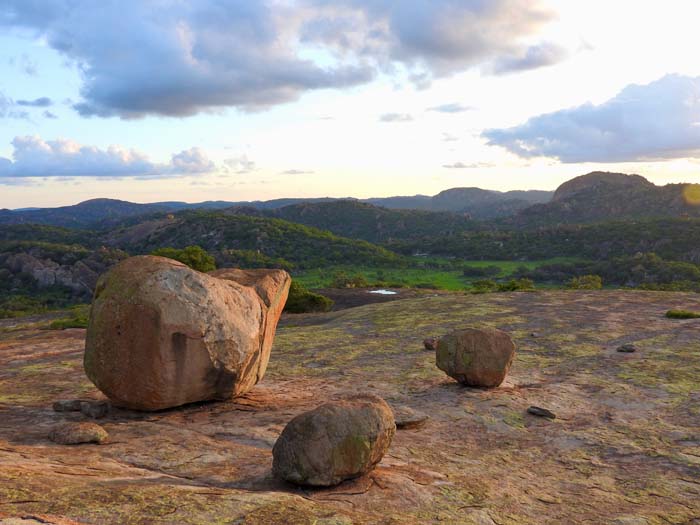
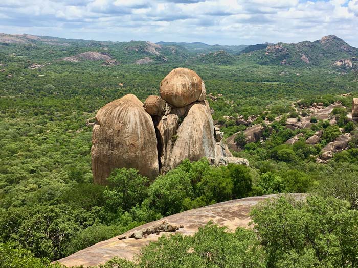
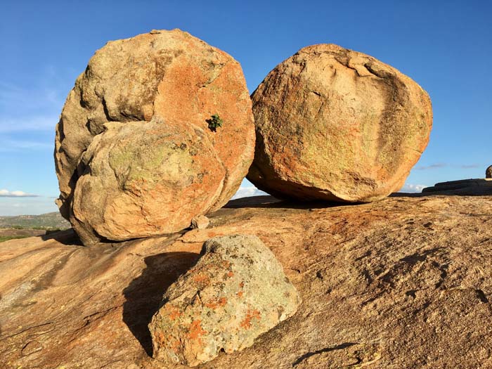
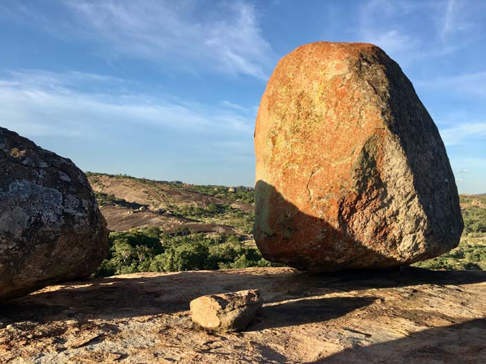
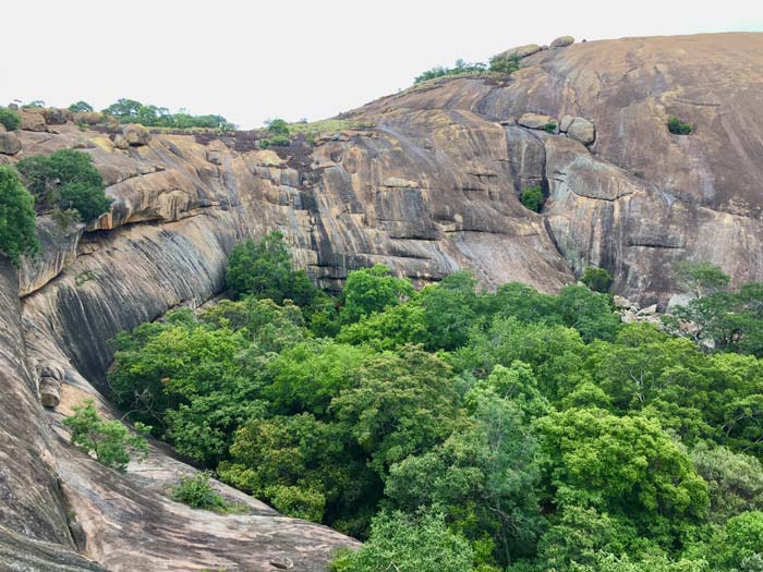
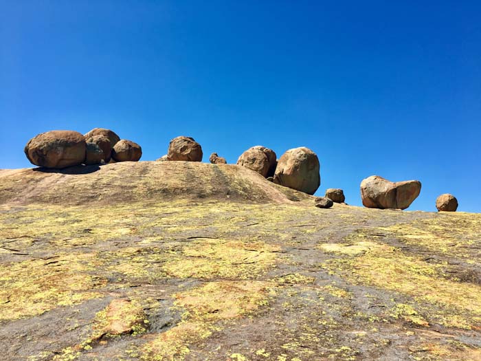
The Matobo National Park is just south of Bulawayo in southwest Zimbabwe. A fascinating and powerful place – otherworldly, it is like being on another planet. Home to the Matobo or Matopos Hills, a range of intricate balancing rocks and megalithic formations, caves, rock art, black eagles and both black and white rhino.
The controversial grave of Cecil John Rhodes, founder of former British colony Rhodesia, is carved into the summit of Malindidzimu Hill, meaning “high place of the ancestral spirits”. A most breath-taking site, also named World’s View, giving a 360-degree view of the park.
Understandably sacred to the Ndebele people, the area vibrates with high energy and intensity. The place is vast, still and peaceful, with an etherically spiritual quality.
Portals to Agartha – the Underworld – and their underground populations are found here.

Victoria Falls
25.83° E
The Victoria Falls is one of the seven Natural Wonders of the World. Within the mighty Zambezi River, marking the border between Zambia and Zimbabwe, it is a spectacular sight of awe-inspiring beauty. As David Livingstone declared, “Scenes so lovely must have been gazed upon by angels in their flight.”.
Forming the world’s largest curtain of falling water during peak rainy season, it creates a mist that rises so high that is visible over 40km away. This mist, and the booming sound of the falling water, is what is referred to as “Mosi-oa-Tunya” – “The smoke that thunders.” The mist feels like soft rain, and creates magical rainbows over the Falls throughout the day and even at night, forming an ethereal “lunar rainbow”.
Guarded by solemn, gigantic rock Guardians and Keepers, the site is a powerful energy vortex, spiraling down into the Zambezi River at the bubbling portal of the Boiling Pot. Revered in local traditions, there are a number of sacred shrines in the area.
The Zimbabwe side is the Femine side of the Falls – Holding the Feminine energy within the soft rain forest, mist and ever flowing waters.